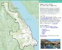
The Summerland Spatial Viewer has over 100 layers of data to explore related to planning, infrastructure and elevation along with five years of aerial photography. Users can measure, markup, produce prints of selected map areas, and create property reports for specific parcels while choosing from over 16 basemaps. A user guide and instructional videos are available to help users navigate the system.
For more information, please visit https://www.summerland.ca/planning-building/gis-mapping.
