Open Data
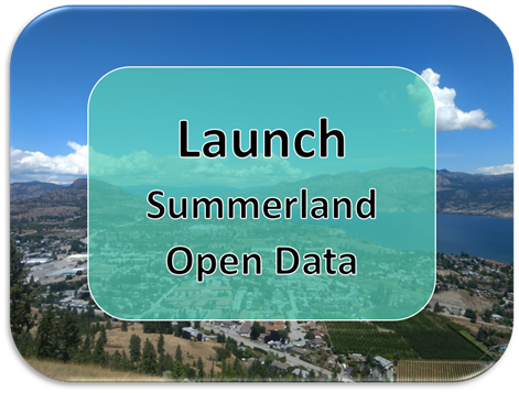
The Summerland Open Data Hub Site is available for users to view and download the spatial data provided in the Summerland Spatial Viewer in multiple formats, free and on demand as part of Summerland’s Open Government Licence. Datasets available for download include zoning, OCP, development permit areas, electric vehicle charging stations, utility infrastructure, parks, 2020 aerial photos and more. The site also contains links to other useful applications such as the RDOS EOC Interactive Map, the BC Wildfire Dashboard, Okanagan Flood Story and the new LidarBC -Open LiDAR portal. Instructional videos providing an overview of the site and how to download data are now available on the District's YouTube Channel.
By using this hub site you agree to the terms outlined in the Open Government Licence -District of Summerland and the Disclaimer.
